Advancing the frontier of amateur satellite technology
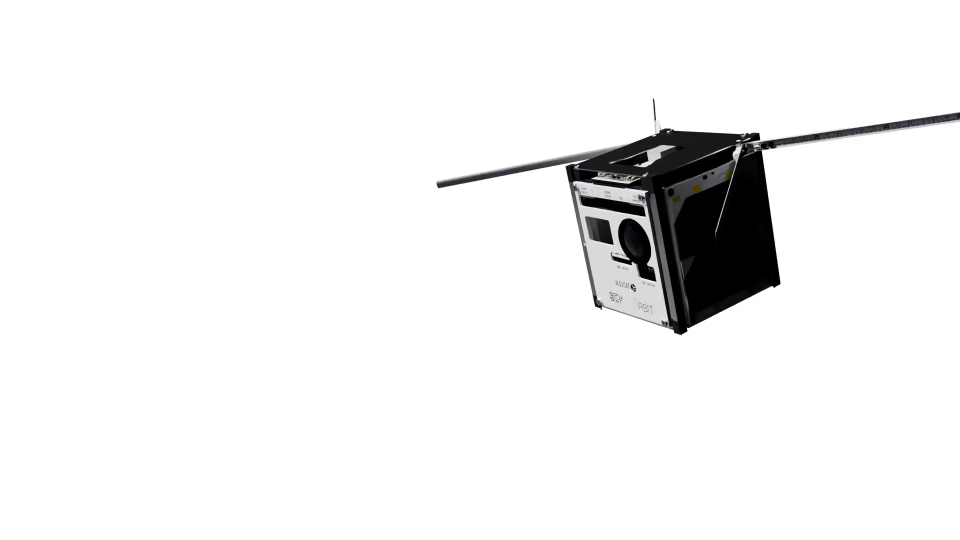
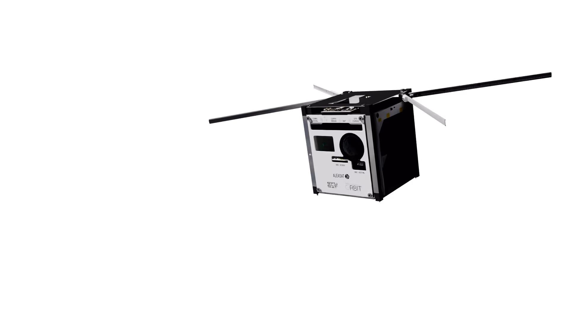
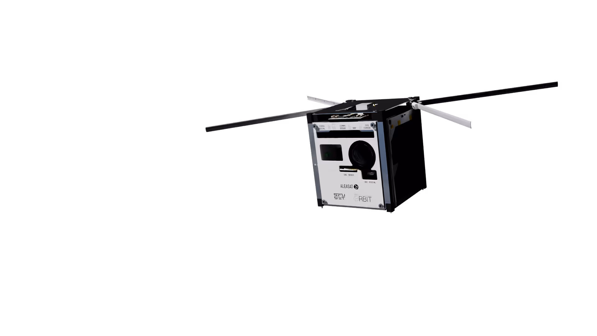
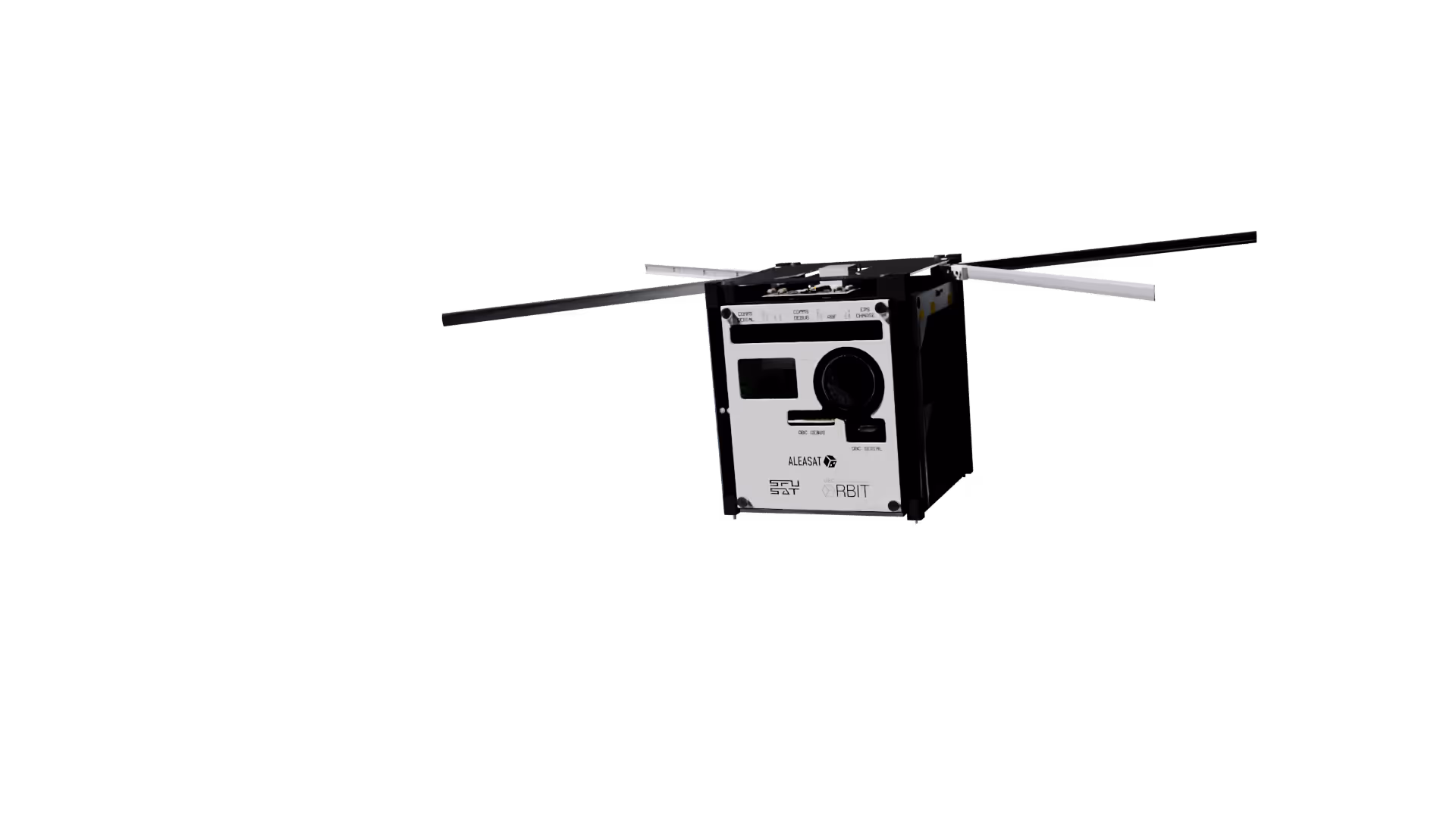
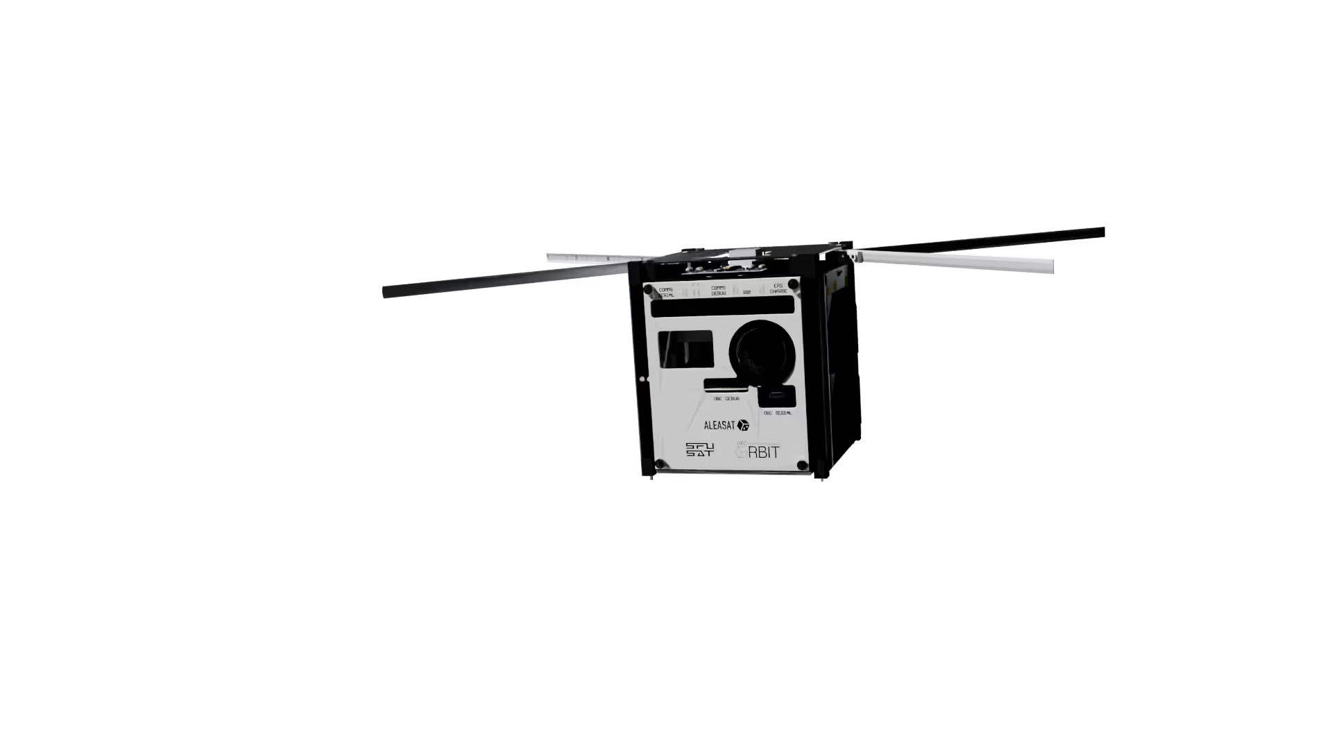
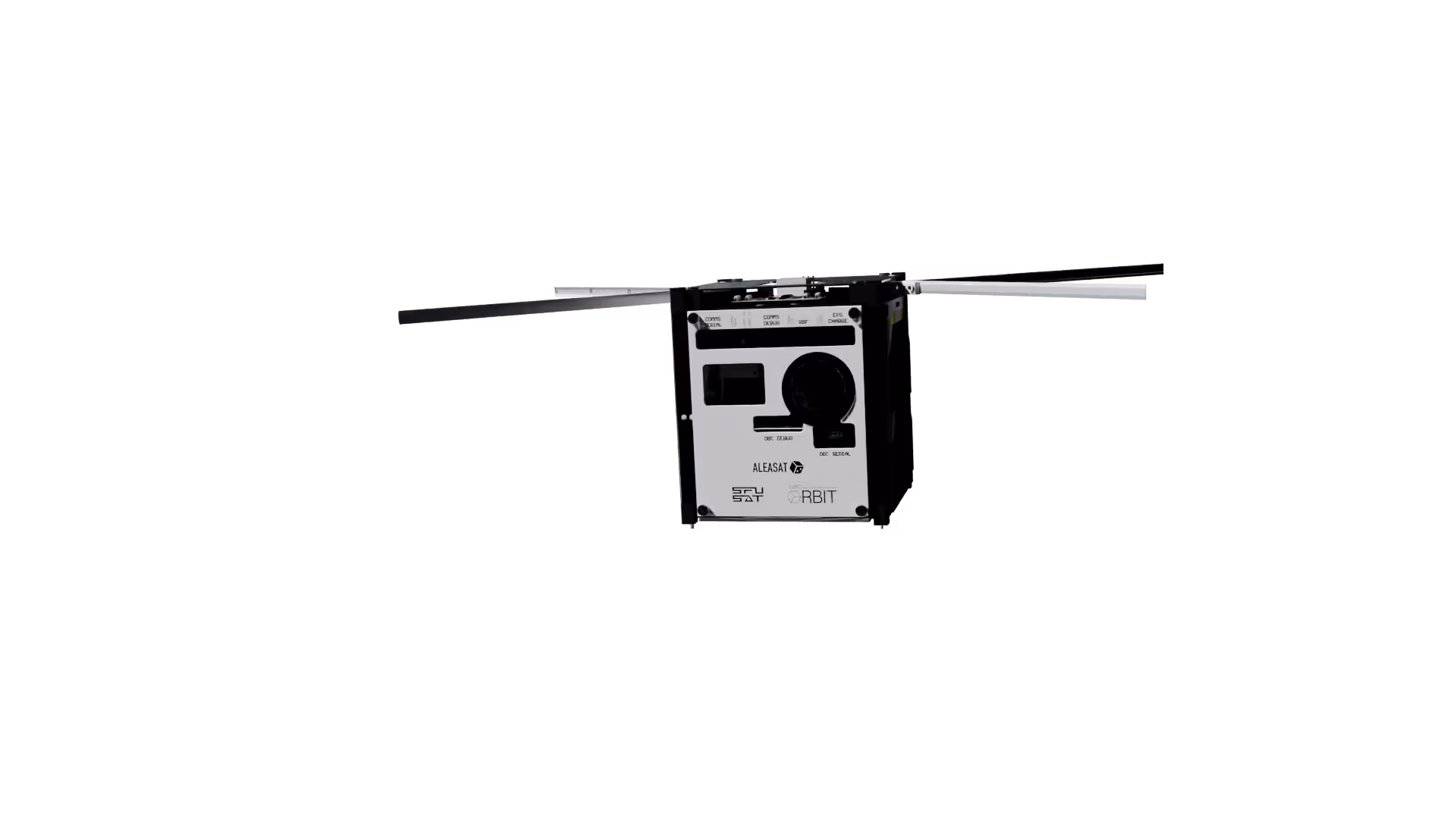
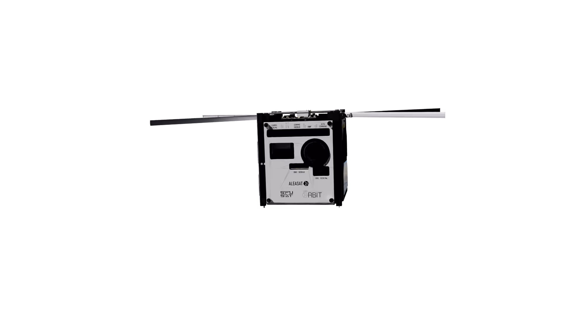
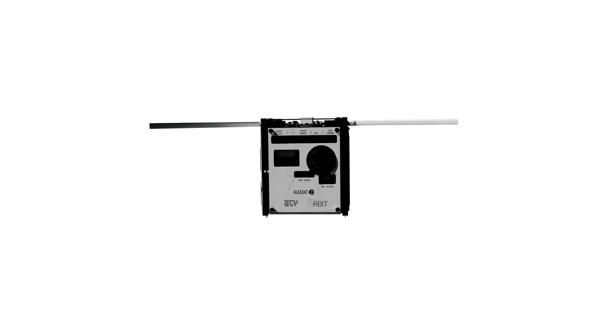
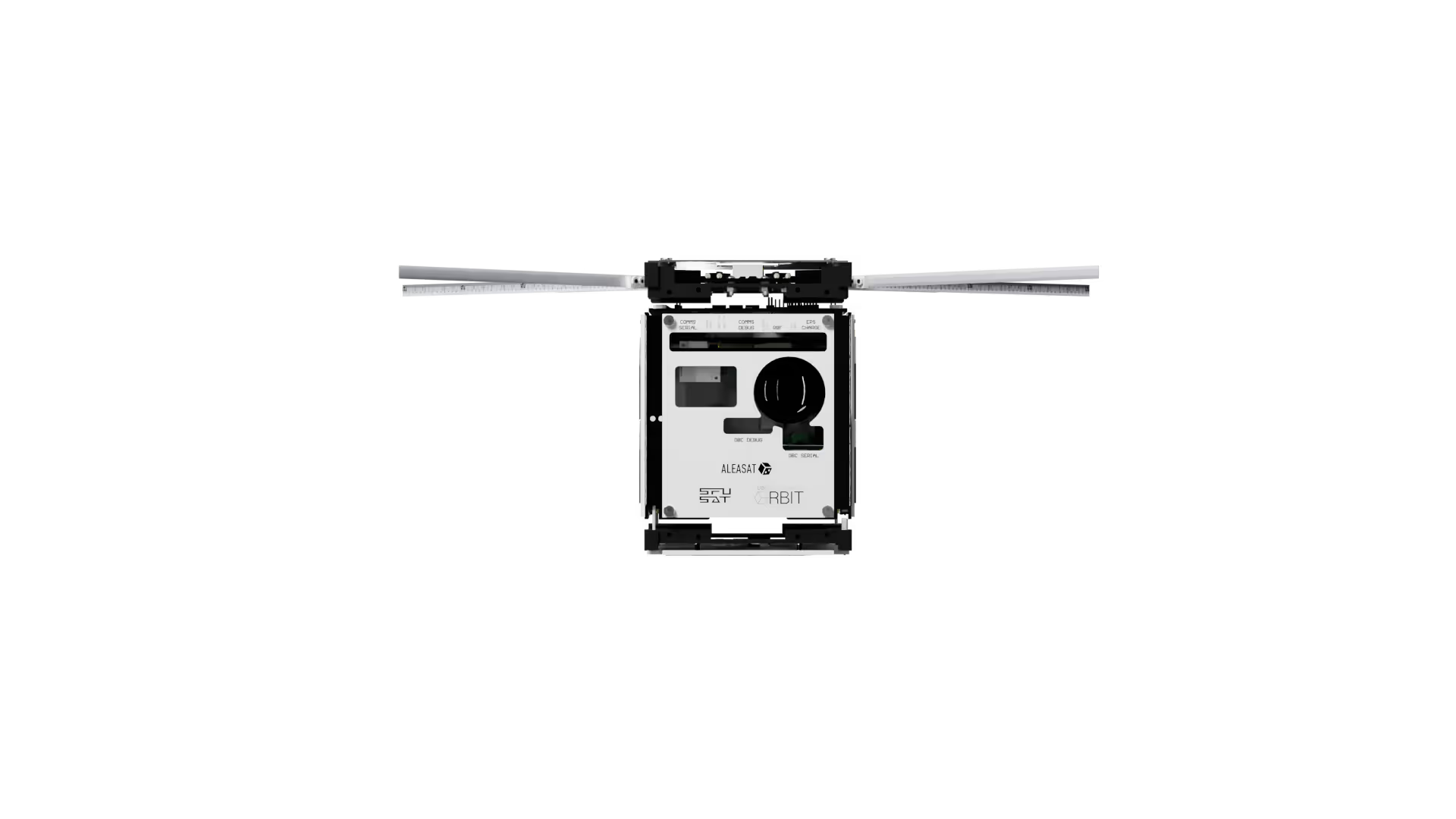
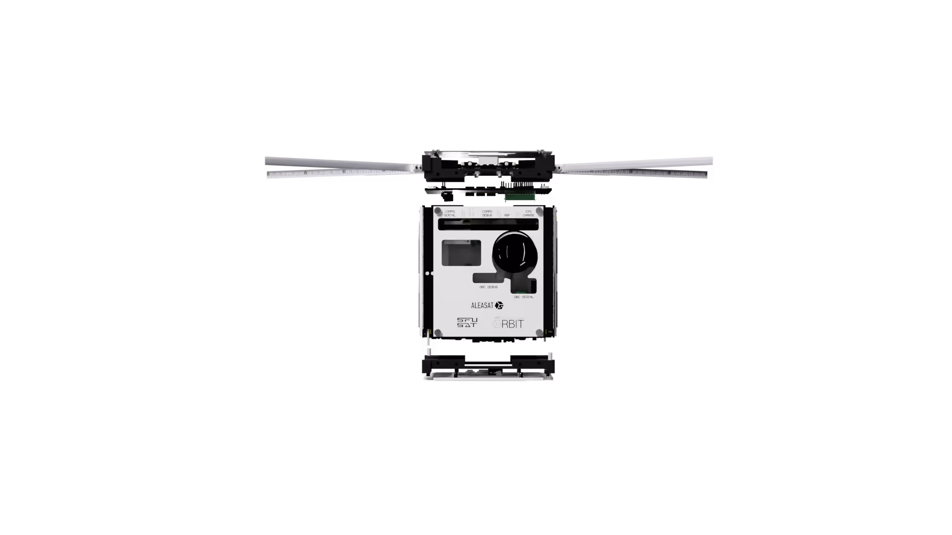
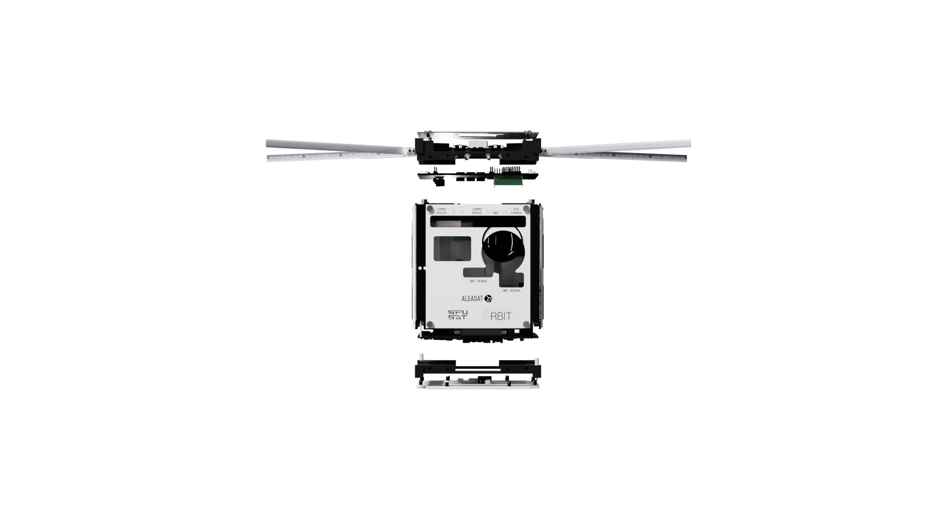
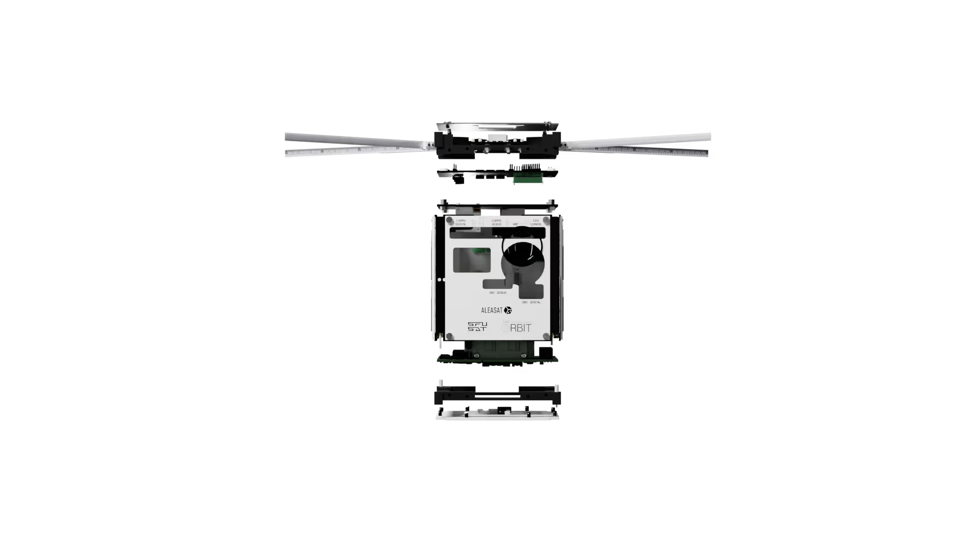
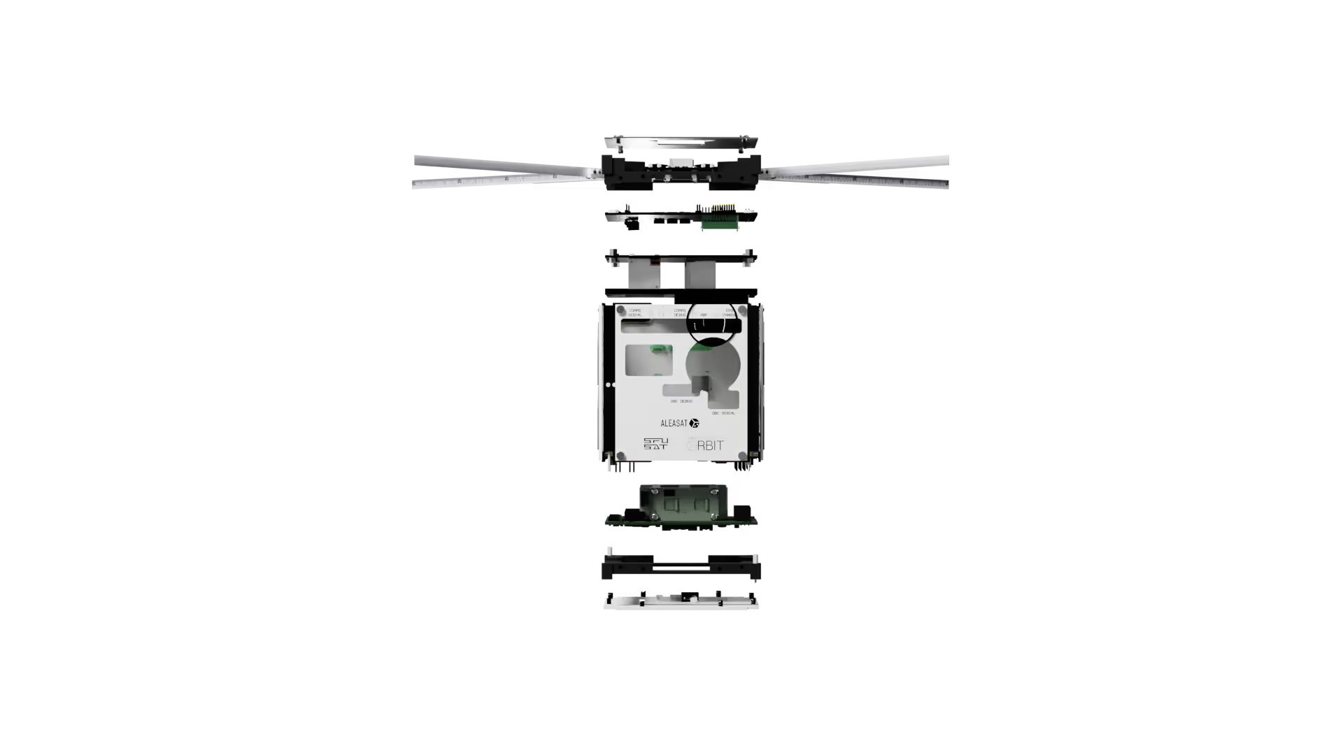
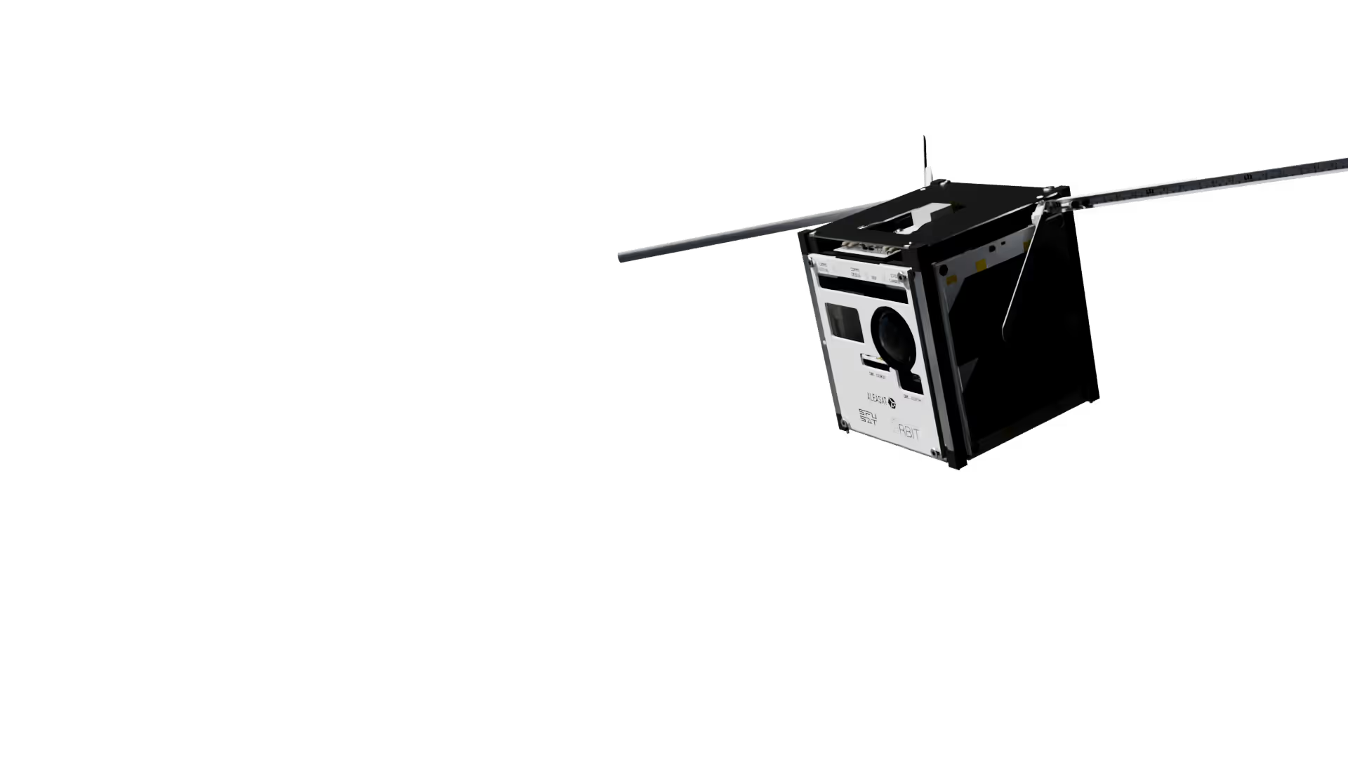
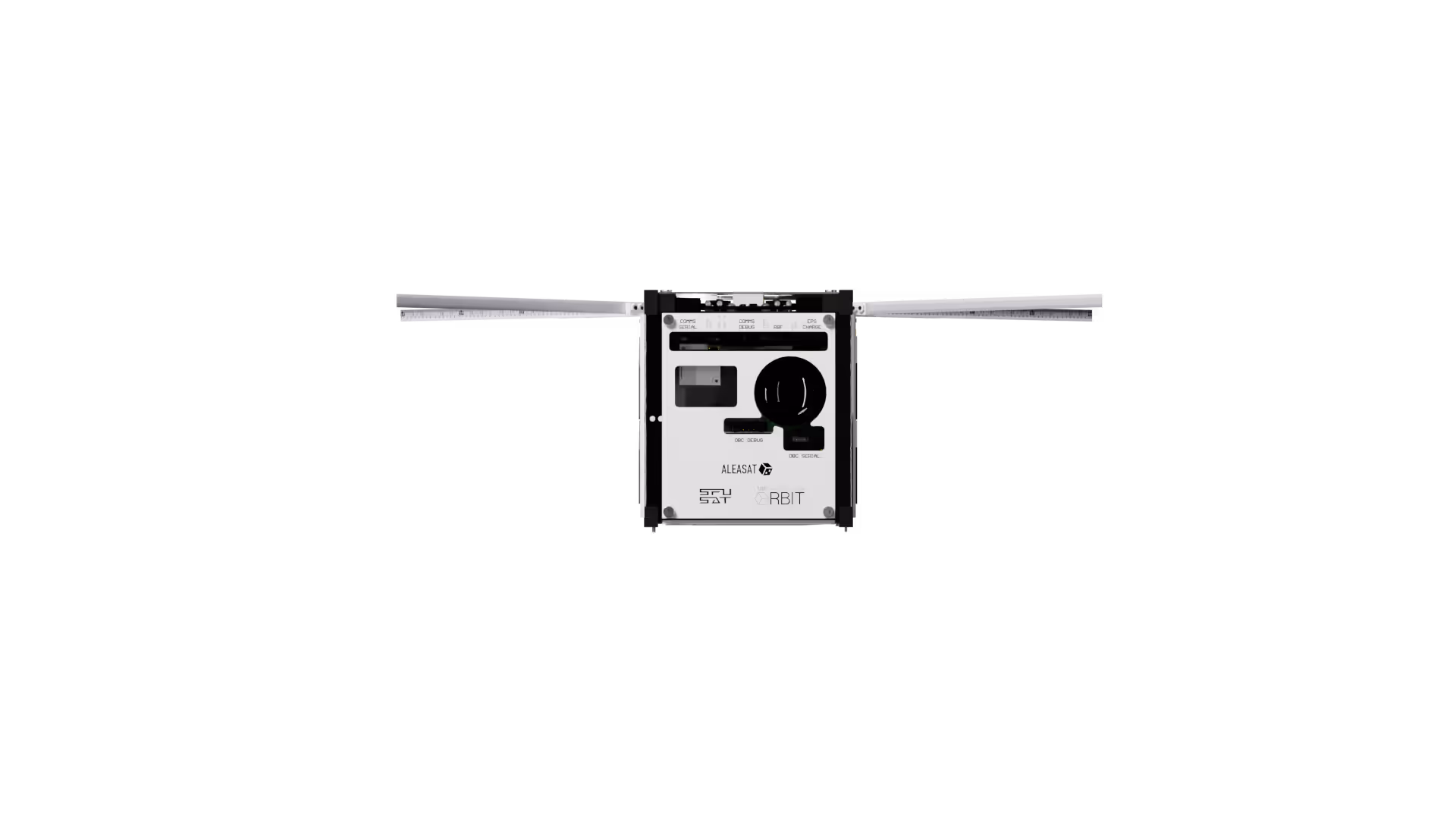
ALEASAT is an Earth-observation satellite that can be used by radio amateurs to assist in disaster relief operations. Equipped with an on-board camera, ALEASAT will allow radio amateurs to request imagery of a specific location on Earth, and then downlink that imagery directly from the satellite.
Unlike most amateur satellites, ALEASAT's targeted approach has direct applications to disaster monitoring and relief activities.
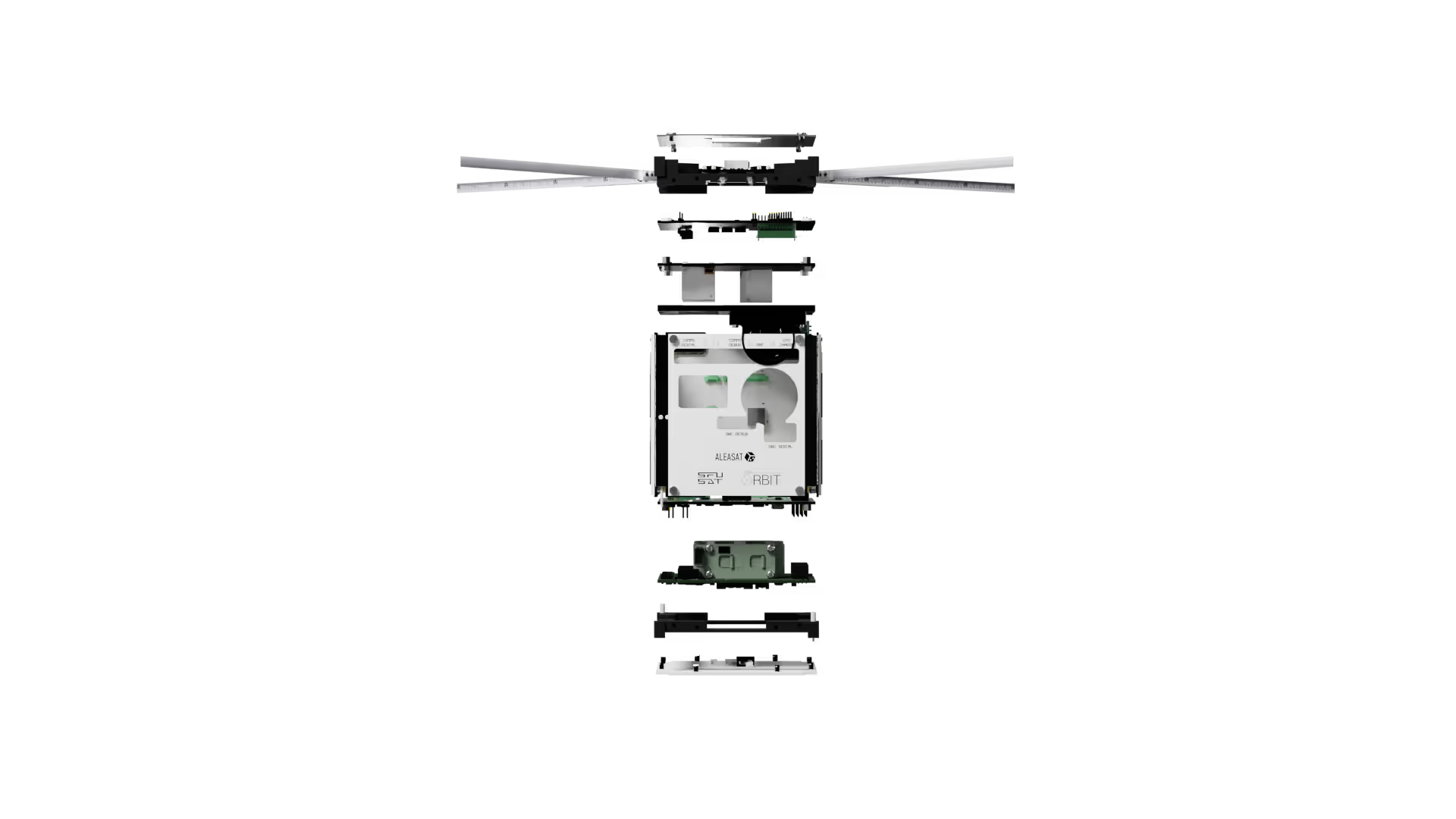
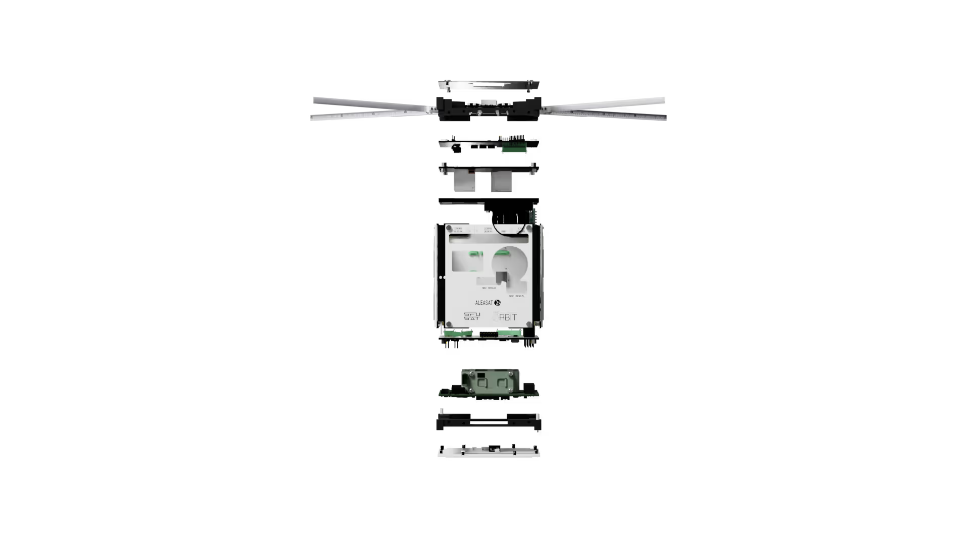
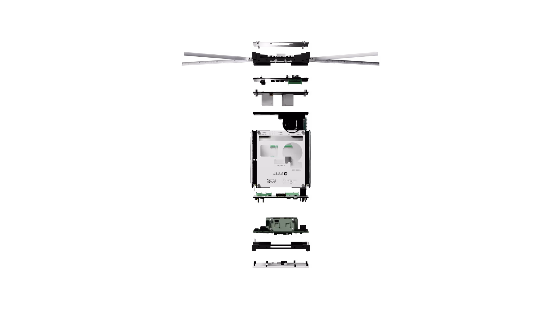
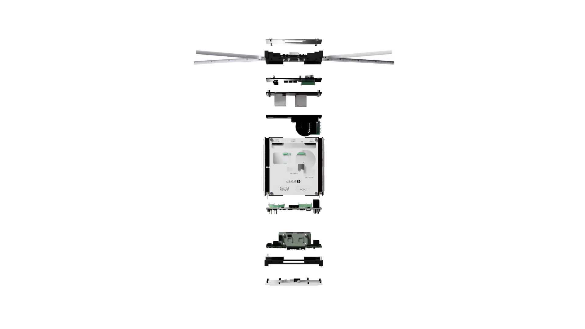
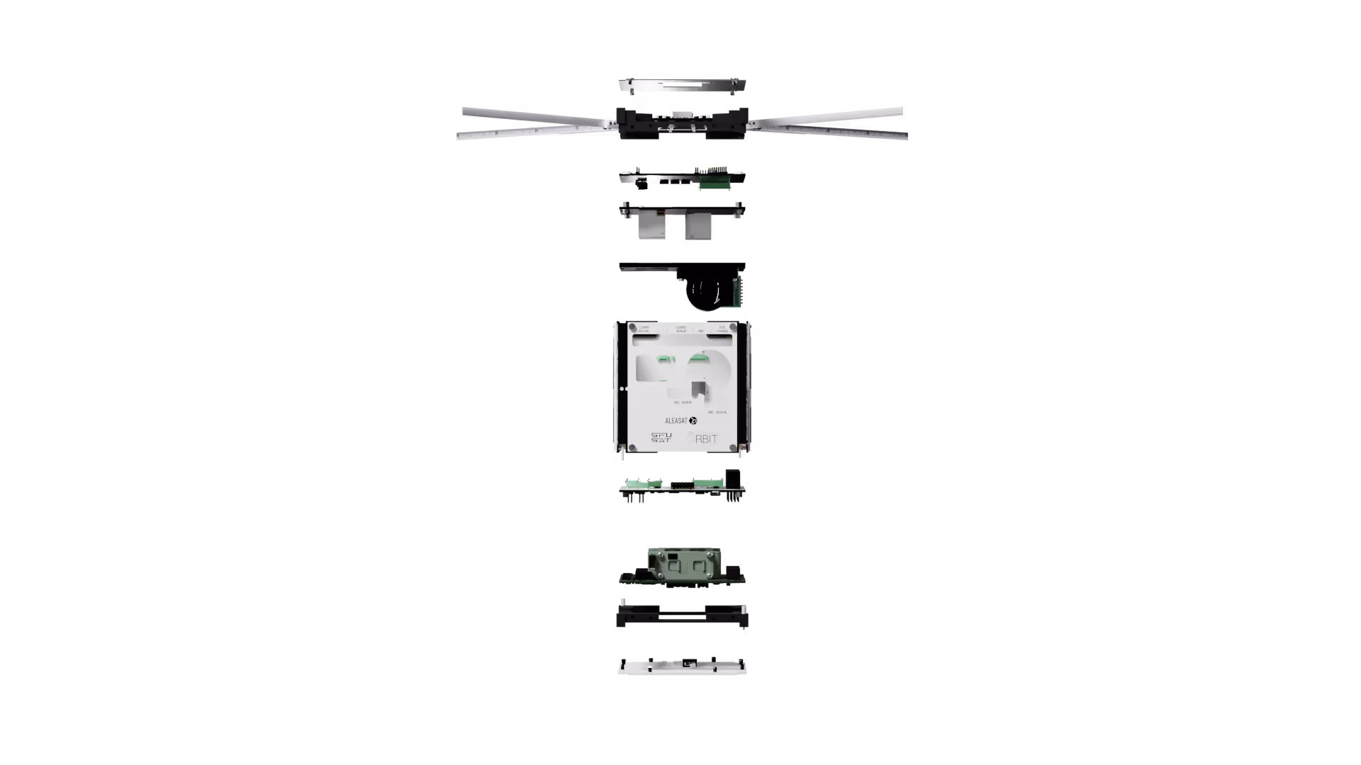
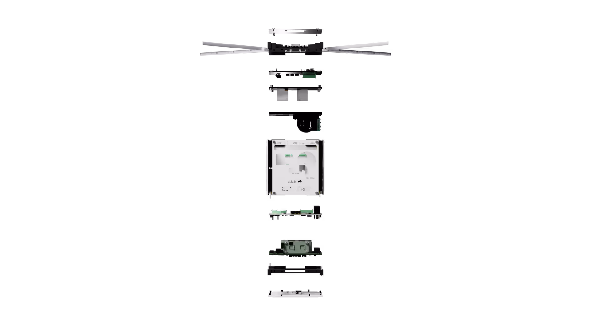
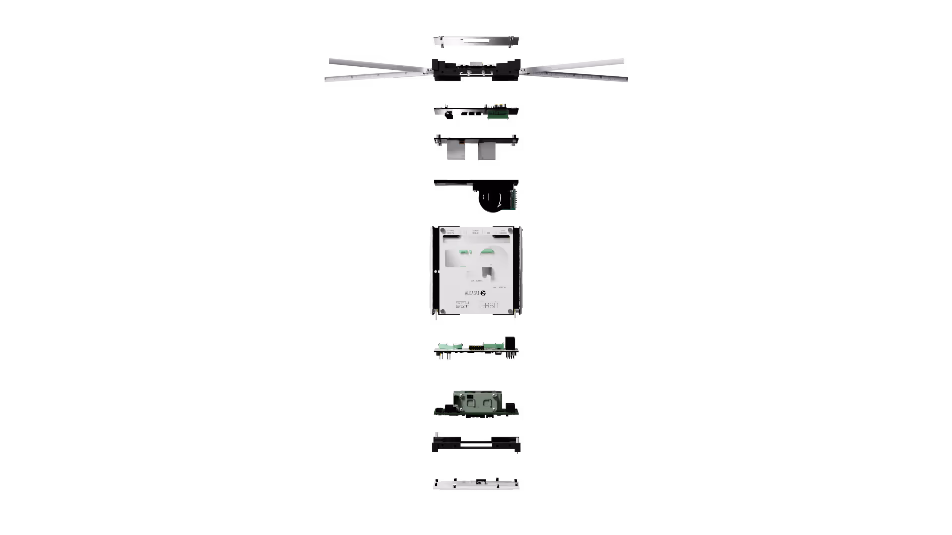
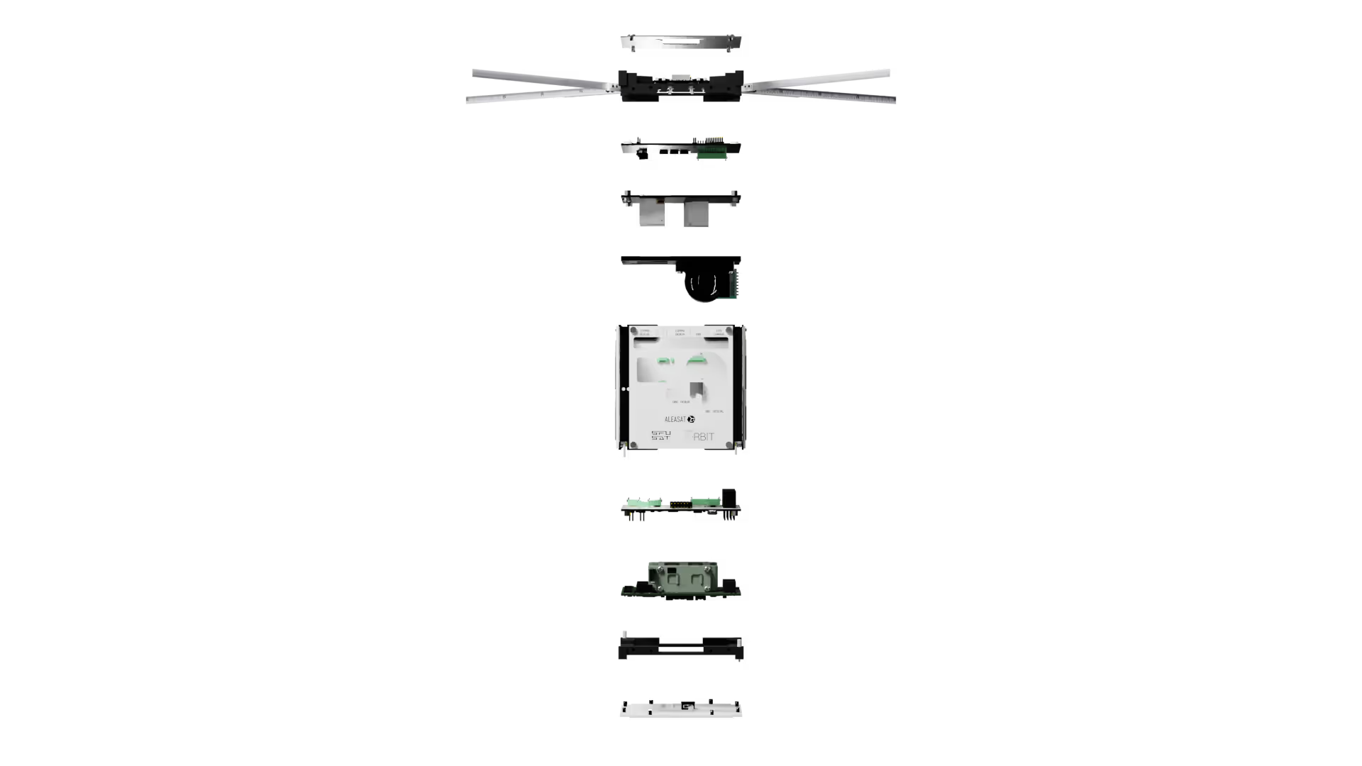
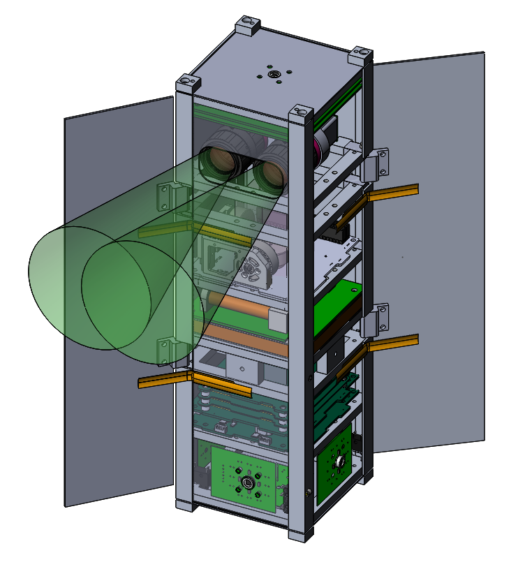
Mechanism responsible for deploying the communication antenna once the spacecraft reaches orbit. Ensures reliable data transmission by extending the antenna into its operational position.
Handles the transmission and reception of data between the spacecraft and ground stations. Includes RF circuits and interfaces with antennas.
Precise attitude control system that allows the satellite to rotate and point with high stability without using fuel.
Captures visual data of Earth or space for imaging missions. Mounted with a lens and connected to the onboard computer for data processing.
Provides electrical power to the spacecraft by converting solar energy into electricity. Essential for sustaining long-term operations in orbit.
The central processing unit of the spacecraft. Manages control, communication, payload operations, and interfaces with all other subsystems.
Manages power generation, storage, and distribution onboard. Regulates voltage and supplies power to all systems using solar panels and batteries.
A Decade of UBC Orbit

Optical and Radio Calibration Satellite
A collaborative mission with SFU and UVic to calibrate ground-based star photometers. This mission focused on high-precision instrumentation to account for atmospheric attenuation.
EXPLORE ORCASAT →On-Demand Earth Observation
Designed to evaluate onboard image processing requirements, Aspectu utilized computer vision to capture Earth imagery with 53m spectral resolution.

Triple Redundant Computing
An experimental payload testing low-cost alternatives to radiation-hardened microcontrollers by implementing triple-modular redundancy in space environments.
High-Resolution Imaging
One of our earliest primary payload missions, featuring dual-camera systems optimized for high-resolution topographical imaging of the Earth's surface.